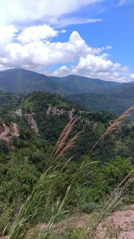
Brief introduction of Chandrakot Rural Municipality
The geographical position of Chandrakot Rural Municipality falls in 28°06'36.4'' northern latitude and 83°24'51.3'' east longitude. Located in Gulmi district, it is bounded on the east by Kaligandaki Rural Municipality of Gulmi district, on the south by Satyawati rural municipality and Chhatrakot municipality, on the north by Bahreng Rural Municipality of Baglung district and on the west by Musikot Municipality and Gulmi Durbar Rural Municipality of Gulmi district. The area of this Rural Municipality is 105.73 sq. km. According to the 2068 BS census, the total population of Chandrakot Rural Municipality is 21,827. According to the Nepal Gazette published by the Government of Nepal on Falgun 27, 2073, Chandrakot Rural Municipality Gulmi, Lumbini Province Nepal is consists of the then 8 VDCs namely; Divrung, Bishukharka, Harrachaur, Shantipur, Gwagha, Harewa, Rupakot and Turang VDCs. This rural municipality is divided into 8 wards. Chandrakot Rural Municipality Office is in the Former Shantipur VDC office which is currently at Chandrakot ward no. 4, the new building of Chandrakot Campus at Shantipur.
It has a historical and religious identity like famous Chandrakot, Divrung, Chakreshwar and natural waterfalls of Timure Lake, Daha Lake, Arjewa as well as many rivers, forests, natural resources, Hugdi Khola hydropower development projects. This rural municipality is named after the famous historical site Chandrakot. The village is mainly inhabited by Brahmin, Chhetri, Magar, Newar, Gurung, Vishwakarma and Kumal castes. The main sources of income of the community living here are agriculture, animal husbandry, foreign employment and trade.
Photos: by Krishna Thapa KBT
Tags:
Travel


